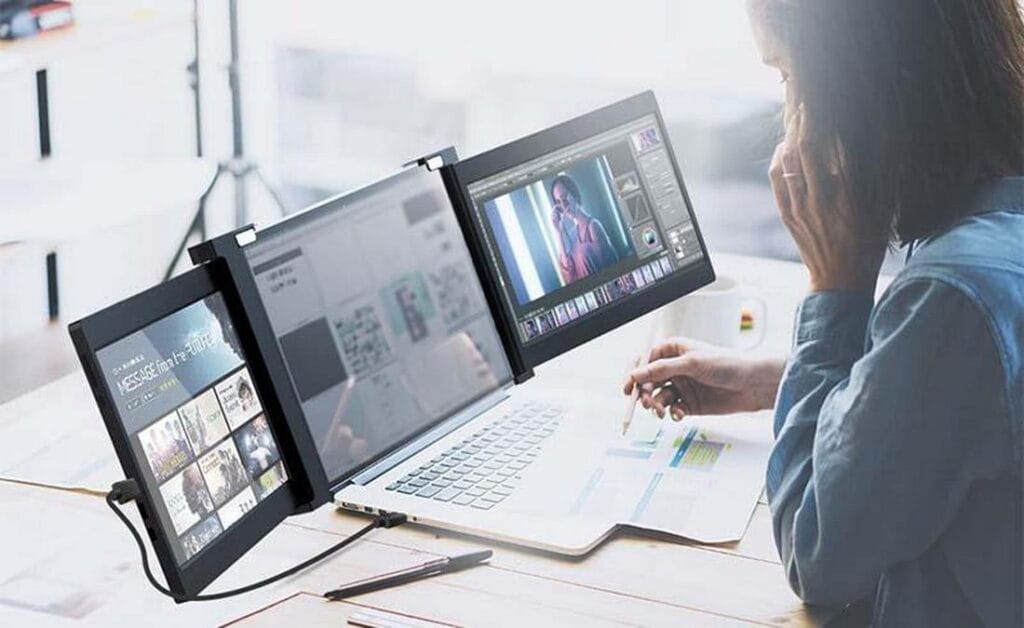
Do You Have the Right Tools for Modern Surveying Challenges?
In today’s fast-paced construction and surveying industries, where accuracy and efficiency are paramount, professionals often face the following challenges:
- Viewing and interpreting complex 3D terrain maps in the field.
- Analyzing laser scan data in real-time without delays.
- Presenting intricate geological charts and data visualizations effectively.
- Optimizing workflows for data visualization tools using portable or extended screens.
- Comparing digital maps with construction blueprints directly on-site.
This blog explores how tools like extended monitor for laptops, extended laptop screens, and triple screens are revolutionizing the way engineers, surveyors, and data analysts approach these tasks. From improving on-site decision-making to streamlining workflows, these technologies are essential for tackling modern challenges.
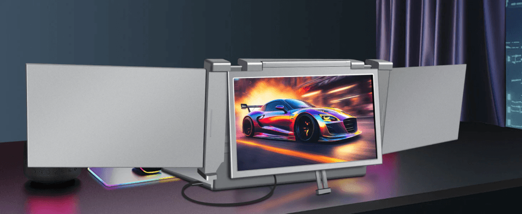
1. The Role of Portable Monitors in Engineering Surveying
Why Engineering Surveying Requires Advanced Visualization
Surveying involves the collection and interpretation of spatial data to create maps, blueprints, and models. Tasks such as topographic surveys, construction planning, and geospatial analysis demand tools that can handle intricate visuals and data-heavy workflows.
Portable Monitors: The Game-Changer
- Field-Friendly Visualization: Portable monitors provide a secondary screen for viewing high-resolution 3D maps and models directly in the field.
- Compact and Durable: Designed for rugged environments, these screens withstand the challenges of outdoor surveying.
- Real-Time Collaboration: Surveyors can share visual data with team members or clients on the spot, speeding up decision-making processes.
Example Scenario
A team conducting a topographic survey uses an extended laptop screen to view 3D terrain models alongside GPS data, enabling faster identification of key land features.
2. Enhancing 3D Terrain Mapping with Extended Laptop Screens
The Importance of Visual Clarity
3D terrain maps are critical for understanding landforms, planning constructions, and assessing risks. However, interpreting these maps on a single laptop screen can be limiting.
Benefits of Extended Laptop Screens for 3D Mapping
- Wider Viewports: By using an extended monitor for laptop, surveyors can view larger portions of terrain maps without frequent zooming or panning.
- Enhanced Multitasking: Engineers can simultaneously run GIS software, access satellite imagery, and annotate maps.
- Reduced Eye Strain: Larger screens reduce the strain of working with detailed visuals for extended periods.
Pro Tip
Choose a portable monitor with a matte finish to minimize glare when working in bright outdoor conditions.
3. Real-Time Analysis of Laser Scan Data
The Growing Role of Laser Scanning
Laser scanning, or LiDAR, captures detailed spatial data to create accurate 3D models of environments. Analyzing this data in real-time helps surveyors make immediate adjustments and improve data accuracy.
How Triple Screens Improve Laser Scan Workflows
- Multi-Feed Analysis: With triple screens, surveyors can dedicate separate displays to raw data, processed 3D models, and real-time analytics tools.
- Error Detection: Extended screens make it easier to spot anomalies in point clouds or overlapping data points.
- Streamlined Reporting: On-site, surveyors can compile and present data without needing additional office setups.
Case Study
A construction firm used a triple screen setup to monitor live LiDAR scans during a bridge construction project, reducing project delays by 25%.
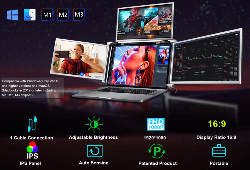
4. Presenting Geological Charts with Portable Monitors
Why Presentation Matters in Surveying
Geological charts often contain complex layers of information, from soil composition to fault lines. A clear, engaging presentation ensures stakeholders understand the data and its implications.
Advantages of Portable Monitors for Presentations
- Improved Visual Impact: Extended laptop screens provide more room to display charts, graphs, and annotations simultaneously.
- Interactive Elements: Touchscreen models allow users to zoom into specific areas or highlight critical details during presentations.
- Compact Portability: Portable monitors are easy to set up during field meetings or client presentations.
Best Practices
Use a portable monitor with HDR support to ensure geological charts appear vibrant and detailed, even in outdoor settings.
5. Data Visualization Tools on Extended Screens
Visualizing Big Data in Engineering Projects
Surveying and engineering projects generate vast amounts of data, from elevation points to construction timelines. Data visualization tools make this information more digestible.
How Extended Monitors Enhance Visualization
- Efficient Workflows: Tools like Tableau or GIS software benefit from extended laptop screens, which provide more space for dashboards and reports.
- Simultaneous Comparisons: Multi-screen setups enable side-by-side comparisons of datasets, such as historical and current survey results.
- Dynamic Updates: Real-time data updates are easier to monitor with larger, segmented screens.
Pro Tip
Opt for monitors with a fast refresh rate to ensure smooth visualizations when dealing with live data streams.
6. On-Site Map and Blueprint Comparisons
The Need for Accurate On-Site Comparisons
Surveyors often need to compare digital maps with physical blueprints or updated construction plans during projects.
Portable Monitors for Accurate On-Site Insights
- Real-Time Updates: Sync digital maps to a portable monitor for instant updates and edits.
- Dual-Screen Flexibility: An extended monitor for laptop allows professionals to view original blueprints and updated versions simultaneously.
- Enhanced Collaboration: Team members can discuss changes on a shared screen, minimizing miscommunication.
Example Application
During a road construction project, engineers used a triple screen setup to compare drone-captured aerial maps with project blueprints, ensuring alignment with original plans.
7. Future Trends in Portable and Extended Screens for Surveying
What’s on the Horizon?
- AI Integration: Extended screens equipped with AI tools will offer predictive analysis for surveying projects.
- 5G Connectivity: Portable monitors with 5G will enable faster data streaming and real-time cloud integration.
- Eco-Friendly Designs: Manufacturers are focusing on sustainable materials and energy-efficient displays for extended use in the field.
Why It Matters
As the demands of engineering surveying grow, tools like extended laptop screens and triple screens will become indispensable for staying ahead of industry challenges.
Conclusion: Elevating Surveying and Data Analysis with Extended Screens
From viewing intricate 3D terrain maps to presenting geological data effectively, portable monitors and extended screen setups are redefining the workflows of surveyors and engineers. By incorporating technologies like extended monitor for laptops, extended laptop screens, and triple screens, professionals can enhance efficiency, reduce errors, and improve collaboration.
In an industry where every detail counts, investing in advanced display solutions is not just an option—it’s a necessity. Let these tools be the cornerstone of your next surveying breakthrough.
You May Also Like
-
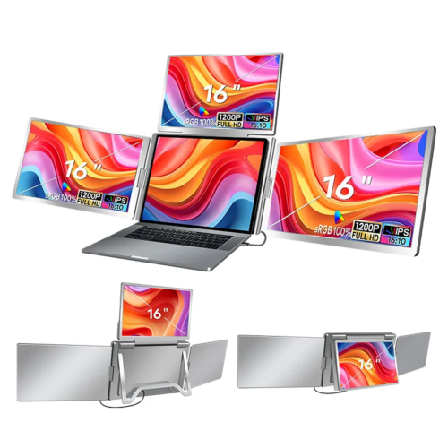 ONext 100% SRGB 16 Inch Quad Monitor 1 Cable for Trifold Laptop Monitors, Vibrant 3-Display for Windows & MacOS
 -
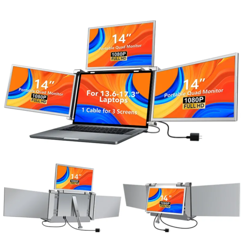 ONext 14″ Quad Monitor Laptop Screen Extender – FHD 1080P, 1 Cable for 3 Screens, Portable IPS for 13.6″-17.3″ Laptops (Win/Mac M1-M3)
 -
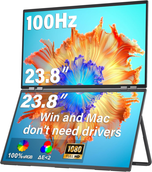 ONext 23.8″ FHD100Hz 100% sRGB Dual Screen Laptop Extra Monitor – 315° Adjustable for Work & Gaming
 -
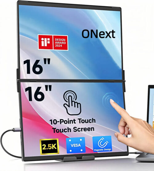 ONext 16″ Laptop Screen Extender Foldable Dual Stacked Portable Monitor with Built-in Hub, Magnetic Design, Single Cable for 1080P Triple Monitor Setup
 -
 ONext 18.5″ Laptop Dual Screen Monitor 1080P 100Hz, Foldable Double Screen Laptop Display for Win/Mac
 -
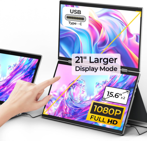 ONext 15.6″ Dual Screen 1080P FHD Stacked Folding Triple Monitor HDMI USB-C Portable Dual Monitor for Laptop Windows Mac (No Driver Needed)
